Thread stickied by popular request.
Thanks is for sharing this and all your effort behind it, Steerpots!


Thread stickied by popular request.
Thanks is for sharing this and all your effort behind it, Steerpots!
VR: None
HP Omen Laptop 15, AMD Ryzen 5 5600H 16 GB DDR4 RAM, NVIDIA GeForce RTX 3060 Laptop GPU 6 GB VRAM Win 11 64 bit 22H2 (KB5020044), Nvidia GeForce Driver ver 527.56, TrackIR 5, Gear Falcon Trim Box, Gear Falcon Throttle Quadrant, TM16000 joystick, TM Warthog HOTAS, CH Quadrant, Saitek Pro Combat rudder pedals
Installation path: C:\Program Files (x86)\Steam\steamapps\common\IL-2 Sturmovik Cliffs of Dover Blitz
S! All
Find attached the latest version of Bomber Buddy.
Changes
1. version 6.0
2. Distances between each waypoint implemented
3. Updated Install and Usage text.
Installation:
Put the .exe file into a folder anywhere you like on your PC HDD.
Pin .exe to your taskbar or make a shortcut for your desktop.
Usage:
Run the utility
Read the Install and usage tab
Feedback encouraged and welcomed
56RAFSteerpots(US-T)

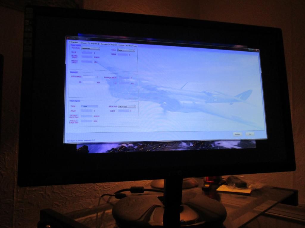
This is an awesome tool! I am loving it. One thing, can you make it so we can re-size the window? I run it on a second monitor and I can't drag it or stretch it to fit the screen. It would be nice to have it fit the screen and a little easier to read it too. Its not a big deal though I can see it just fine.
Here is what I see. Its not bad but if there is an easy way to make the borders able to re-size that would be cool.

Also spreadsheet type "Bomber Buddy" version with TAS both calculated and as tabled in the CLOD manual here:
http://theairtacticalassaultgroup.co...ad.php?t=12895

"If a job's worth doing, it's worth half doing twice" - Homer

What a great tool!!
Any chance to see it one day as "Axis Bomber Buddy" version?
(BTW Still don't understand why international aviation don't use the metric system...)
cheers
henry
Last edited by HenryLuebberstedt; Jan-17-2017 at 04:20.
System: i7-6700K, MSI Nvidia 1070GTX, 16GB RAM, Gigabyte GA-Z170 K3, Win10 64Bit, TrackIR5, HOTAS Warthog, Saitek Pro Rudder Pedals, Sennheiser 350 Headset, LG 34' 21:9

i am obviously too stupid to use it. This is V6.
I want to just fly from Canterbury to Le Havre, no waypoints.
I choose Canterbury from the start drop down.
I choose Le Havre from the target drop down.
I type 12000 into the Attack Altitude box
I type 250 into the IAS box
I choose Canterbury from the Return Field drop down.
Now what? Should it not have filled in the other boxes? Is there something else I need to do?
Can I also suggest allowing us to put in our own values for field altitude (both home & target) so we don't have to request an update to use a field that is not already there? I can live without the bearings & distances etc.
EDIT_________________________
It looks as if the script is looping. I cannot minimise or even exit the utility unless I pause the script. The only box filled is the home base altitude.
I am using Win7 (64) Home Premium Edition
EDIT 2 ----------------------------
I can only minimise or exit when I first open the program. As soon as I type in a box or use a dropdown menu the program freezes and the only way to get out is to right click the icon and select 'Pause Script' then it will allow me to minimise or exit.
I don't know if it helps but when I exit the program sometimes it deletes every file apart from the exe, sometimes it also leaves readme and sometimes it leaves either distances or airfields.
While frozen, task manager does not show any cpu or memory leaks.
Last edited by Roblex; Feb-03-2015 at 08:38.
56sqn US@R - Diary of a hopeless Pilot Officer http://roblex56raf.livejournal.com/
Windows 7 Home Premium (64-bit) > AMD Athlon II X4 605e @ 2300MHz
16Gb RAM > Video Card : NVIDIA GeForce 1050Ti
RoblexOriginally Posted by Roblex

Need more detail please.
We can chat next time we on comms at the same time.
Steerpots
Logan
I'll look at making the utility re-sizeable.
Thanx for the feedback
Steerpots
Awesome, Thanks!
I have fixed the problem I was having. It was that old favourite, the virus checker. It would have been the first thing I checked if it had not have been for the fact my virus software had told me it had an error and was closing down and was not showing any more.
It is a great program and potentially invaluable but I feel it needs to be more customisable. There are so many targets and waypoints missing and it is just not practical for you to calculate the angles and distances to every other waypoint and release a new version of the program each time someone asks for a new waypoint. Make the airfields and distances files permanent and we can add our own. We already have access to all the airfield altitudes and can get target altitudes fairly easily in the FMB. To be honest, most of the time the squadron does bomber strikes we use towns and villages and uninhabited river inlets or features as waypoints. Plotting a course that flies over the top of major towns and enemy airfields is of very limited use to us.
56sqn US@R - Diary of a hopeless Pilot Officer http://roblex56raf.livejournal.com/
Windows 7 Home Premium (64-bit) > AMD Athlon II X4 605e @ 2300MHz
16Gb RAM > Video Card : NVIDIA GeForce 1050Ti
Posting Permissions


 Reply With Quote
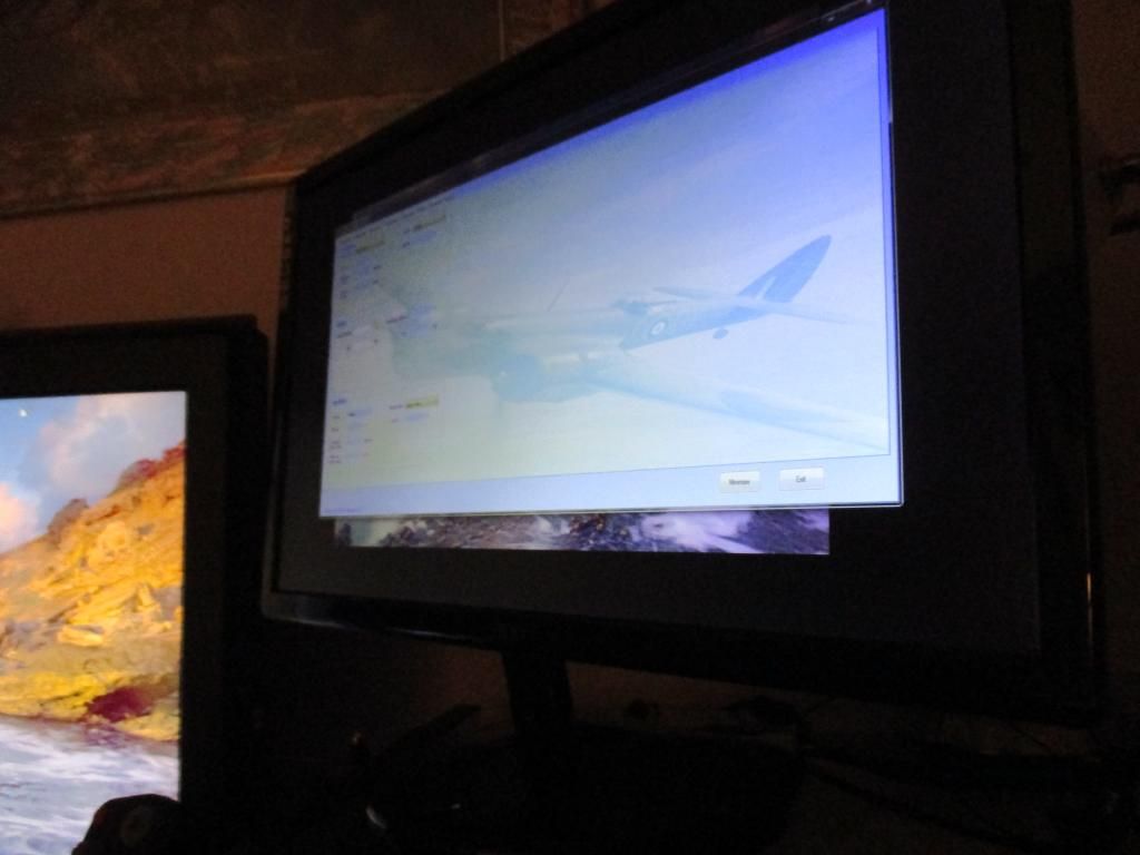

Bookmarks